VISION MAPS
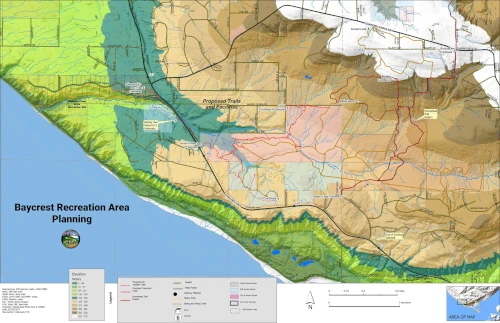
BAYCREST RECREATION AREA MAP
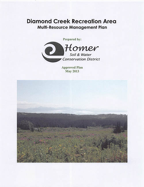
The Baycrest Recreation Area, also known as the Dimond Creek Recreation Area, has been recognized and planned as a key Homer recreation area since at least 2013 when the Diamond Creek Recreation Area (DCRA) Plan was developed by the City of Homer. The HTA realized that this area has been overlooked for many years, and it is timely now to establish a trail network and access in this area; and connectivity to parks and facilities (for example the State Dimond Creek Recreation Site). Why? Development pressures are a major factor, but perhaps most importantly, there are significant infrastructure projects underway in the area, namely the Alaska Department of Transportation and Public Facilities highway projects, especially the area focused on Mile Post 157—169 of the Sterling Highway. This is a large multi-million dollar project that will build infrastructure in this key stretch of highway between Anchor Point and Baycrest. HTA recognizes that we have to establish trail routes and easements soon, and work with government agencies, such as the City of Homer, State of Alaska, and Kenai Peninsula Borough to realize these trails and related facilities.
DOWNLOAD MAP


